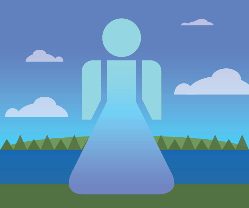
SHARE YOUR
WATER STORY

“Share your story about a Atlantic Canadian waterbody. For example, a story about a shoreline, a lake, an ocean, a river or a waterfall. Do you have a fond memory or an issue you’d like to share? Think about a particular time or instance where you connected with that water body. Your story will help document beneficial use of your special place and help protect it for everybody. How has water left a mark on you? Make sure to use #RAH2050 when you share online and be featured on our Instagram and stay up-to-date every week following #WatermarkWednesday
BECOME A
CITIZEN SCIENTIST
Your observations are collected to create a deeper understanding of the state of our harbours. Creative and scientific process are shared in workshops, toolkits and web-based programs. Connect with your neighbours and fellow scientists as you measure your backyard rainfall; learn what species live in your community; learn about your favourite lakes; and share photos for researchers! Add your local knowledge and act to build greater awareness as our climate changes in rapid ways. Have your voice heard and say RAH together for the next generation 2050!!
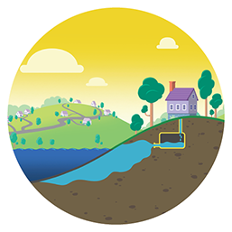
EXPLORE OUR WATERSHEDS
Click on each circle or pin to learn about our shoreline features.

-

-

-

-

-

-
-

- X
-
 Want a panel installed near you? Click here to find out how!
watershed colour guide

WHAT WE’RE DOING AS A COMMUNITY
We do all kinds of things and did you know your neighbourhood is in a watershed ?
Questions Connections Reflections?
QUESTIONS
RAH2050 a small shop NGO based in Nova Scotia, since 2017 has been collecting and supporting local voices
COMMUNITY BUILDING WITH:
-
- Climate Awareness Raising
-
- Local Water Story Collection
-
- Unique, accessible presentations & workshops
-
- Permanent Didactic Shoreline Information Panels
-
-
Educational Resources Sharing & Creation
- Baseline Data Collection
-
CONNECTIONS
One data point at a time really helps understand our local and changing environment.
We help everyone in our Harbour build trusted scientific pathways with your credible observations!
DISCOVER YOUR LEADERSHIP POTENTIAL:
- Share a Coastal photo for researchers: Take a Coastie!
- Join the Community Monitoring Network
Local Meteorologists will use your: Backyard Rainfall!
- Discover Nova Scotia Beaches’ Summer Water Quality
using Swim Drink Fish’s: Swimguide - Monitor the Ocean & our Lakes using: eOceans mobile app: iOS and Android and watch their Explainer video
- Join: iNaturalist
REFLECTIONS
Do you have a blue-sky or grey-day story idea we can help you to highlight? Join our collective story-mapping and amplifying your concerns!
Do You Have Local Issues You Want To Learn More About?
-
- Adding your local story could be a creative question between Art & Science at our shorelines!
- Adding your local data point is a great connection to the scientific process
- Visiting your shoreline and reflecting on your values is a way to begin Re-imagining!
- Stay updated on our ProjectsTab & take action
- Book a workshop & Reach Us today
LET’S STAY CONNECTED
Click #rah2050 to follow us!
WE COULDN’T DO IT WITHOUT YOU


